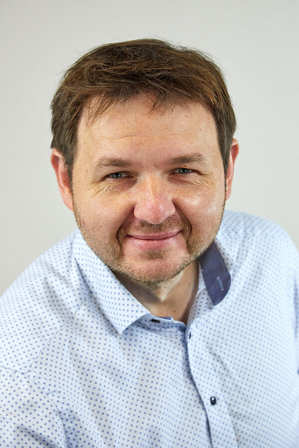
Damian Bargiel graduated in Landscape and Open Space Planning at Leibniz University Hannover in 2007. In his studies, he focused on the use of geoinformation systems (GIS) for landscape planning and nature conservation. After his graduation, he completed a doctorate on the subject of “Classification of agricultural land based on high-resolution TerraSAR-X data as a basis for the spatial mapping of ecosystem services” funded by a DBU scholarship (German Federal Environmental Foundation). His disputation took place in June 2013 and he started working as a research assistant at TU Darmstadt, Institute for Geodesy, from October of the same year. In April 2016 he became deputy head of the Remote Sensing and Image Analysis Department.
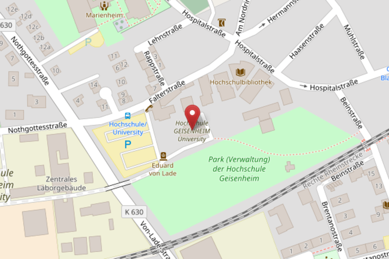
Alongside his research projects he held lectures on remote sensing, radar remote sensing, short-distance photogrammetry as well as image analysis and processing. Funded by an EXIST research transfer, he was able to transfer his many years of research and the resulting computer code into the founding of the start-up company CORAmaps GmbH in December 2019. The company’s main area of activity includes the use of AI to analyze satellite-based images of the earth's surface. Since July 1, 2021 Damian Bargiel has been Professor for Applied Geoinformatics in Landscape Planning at Hochschule Geisenheim University.


