Competence Center Cultural Landscape (CULT)

science.practice.discourse.

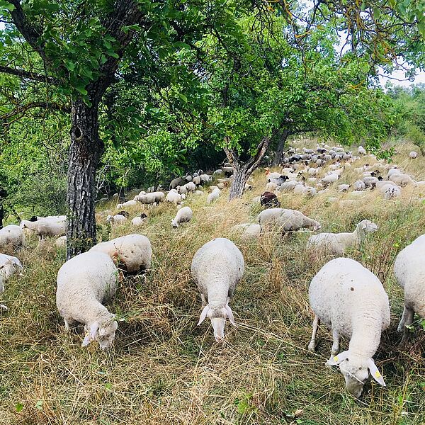
Today's modern age is causing great changes in cultural landscapes. The use of landscapes through intensification of land use (agriculture, forestry, settlements, energy generation etc.) leads to ever more profound changes in these high-quality cultural landscapes. Characteristics such as historical elements and diversity, which determine value are irretrievably lost.

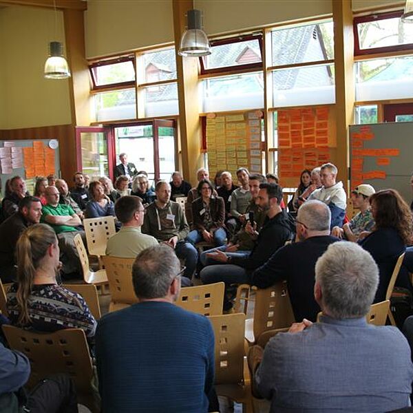
The Competence Centre Cultural Landscape works on these current social challenges of sustainable development of the cultural landscape in a cooperative network. To this end, we organise specialist events and further training and thus promote the development of professional standards.

Upcoming Events

April 29 to May 1, 2024: 4th viSiOONWALD with the theme "Soonwälder Tage zur Landschaftsentwicklung - Vom Wissen und Handeln in der Klimakrise - eine Lösungsuche auf gesellschaftlicher Ebene". Registration until April 15, 2024 at: www.hs-geisenheim.de/visioonwald-2024/

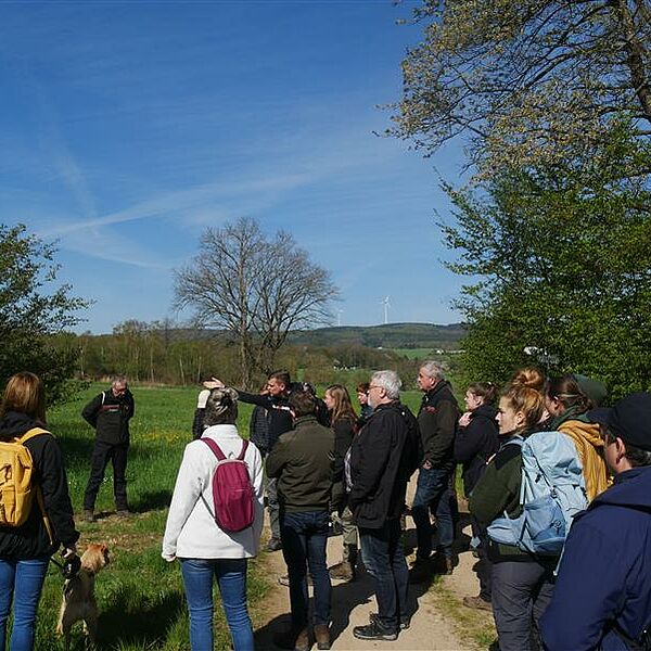
June 24, 2024 10:00 - 17:00: "Focus on climate change - cultural heritage in heat shock". Register online by 14.06.2024 at www.hs-geisenheim.de/vmzm2024/

Contact

If you have any questions or if you would like to cooperate please write an email at kult(at)hs-gm.de

Events

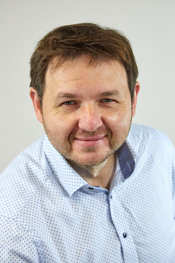
Welcome Prof. Dr.-Ing. Damian Bargiel

Damian Bargiel graduated in Landscape and Open Space Planning at Leibniz University Hannover in 2007. In his studies, he focused on the use of geoinformation systems (GIS) for landscape planning and nature conservation. After his graduation, he completed a doctorate on the subject of “Classification of agricultural land based on high-resolution TerraSAR-X data as a basis for the spatial mapping of ecosystem services” funded by a DBU scholarship (German Federal Environmental Foundation). His disputation took place in June 2013 and he started working as a research assistant at TU Darmstadt, Institute for Geodesy, from October of the same year. In April 2016 he became deputy head of the Remote Sensing and Image Analysis Department.

Alongside his research projects he held lectures on remote sensing, radar remote sensing, short-distance photogrammetry as well as image analysis and processing. Funded by an EXIST research transfer, he was able to transfer his many years of research and the resulting computer code into the founding of the start-up company CORAmaps GmbH in December 2019. The company’s main area of activity includes the use of AI to analyze satellite-based images of the earth's surface. Since July 1, 2021 Damian Bargiel has been Professor for Applied Geoinformatics in Landscape Planning at Hochschule Geisenheim University.

CULT Download Area

In the CULT Download Area you can download files from the CULT-network. These are sorted by date and, if necessary, by the respective event. However, some files are not intended for publication. To download them you need a password. You will receive this by sending us an e-mail.